
The first day of an overnight hike on the Bibbulmun Track, this 17.9 km double hut section of the track takes walkers from Dale Rd to Waalegh campsite via Beraking. After starting in Jarrah and Wandoo forests and passing a Pine plantation on the way to Beraking, the views become increasingly stunning. With expansive views across the Helena Valley, Waalegh is one of the track's most spectacular campsites - a great reward for the day's walking.
Distance: 17.9 km (one way)
Gradient: Largely downhill to Beraking, with a moderate ascent and sections of relatively flat walking. Mildly hilly from Beraking to Waalegh
Quality of Path: Very clear and well maintained
Quality of Signage: Largely well signed, with the Waugal providing very clear directional information.
Experience Required: Some Bushwalking Experience Recommended
Time: 6 Hours, including lunch
Steps: No formal steps
Best Time to Visit: Winter-Spring
Entry Fee: No
Getting There: Access is via the Dale Rd Bibbulmun Track car park. Dale Rd runs off Ashendon Rd and is either 15 km down the road from Mundaring Weir Rd or 5 km north from Brookton Hwy. Entry Fee: No
The Kalamunda to Dwellingup stretch of the Bibbulmun Track can be easily completed as a series of sectional day walks, apart from two stretches - between the Perth Hills Discovery Centre and Mt Dale, and from North Bannister to the Inglehope Rail Crossing near Dwellingup. Although four huts are located between the Discovery Centre and Mt Dale, this section can be done as an overnight hike and Alissa and I scheduled the first weekend of Spring to finally fill in this gap in our sectional End to End. As it turned out, Mark from the Life of Py had organised a group hike over the same section of the track a week later, and although Alissa and I generally walk by ourselves we decided to postpone the walk by a week so we could join Mark's group and hang out with some other like-minded hikers.
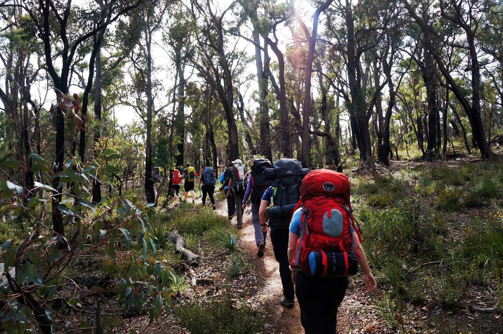
After meeting the group at the Perth Hills Discovery Centre and driving in half the cars to Dale Rd, we set off north for our first day of walking. Leading the way for the first bit of walking was Didier Monot (AKA Magpie) given his experience as the only End to Ender amongst us. This initial section of the track is dominated by Jarrah forest blackened by the fires of February 2015.

Alissa and I had walked from Dale Rd to Brookton Hwy last year so we knew to expect some fire damage to the track. As it turned out the forest had recovered quite well since then, with the forest floor covered in a blanket of yellow wildflowers.


Although the wildflowers were fairly impressive and the gradient fairly easy going, the variety on display was a lot less diverse than what we had seen a few weeks back at Lesueur National Park and on Mt Matilda, and after a while the inherent greyness of the Jarrah forest and lack of views made this initial section of the track a bit samey.

As the descent continued, the scenery began to open up, offering the first views of the Granite dominated hills that make up the Helena Valley and Darling Scarp in general.

Whenever there are valleys in the Darling Scarp, the Jarrah forest inevitably gives way to Wandoo, and I was glad to find this dependable change as we reached the bottom of Mt Dale. I always find the white, smooth bark of Wandoo much prettier than Jarrah. Coupled with the views of the hills and valleys, this was a much more engaging section of the walk.

After passing an old water tank, the track continues briefly through a mixed forest of Jarrah and Wandoo before skirting past a pine plantation.

After so much native bush, its a bit jarring to find yourself walking past the overly ordered rows of a Pine plantation. At this point I was thinking that I should take it all back regarding the dull Jarrah forest, however we were thankfully not alongside the Pines for very long.

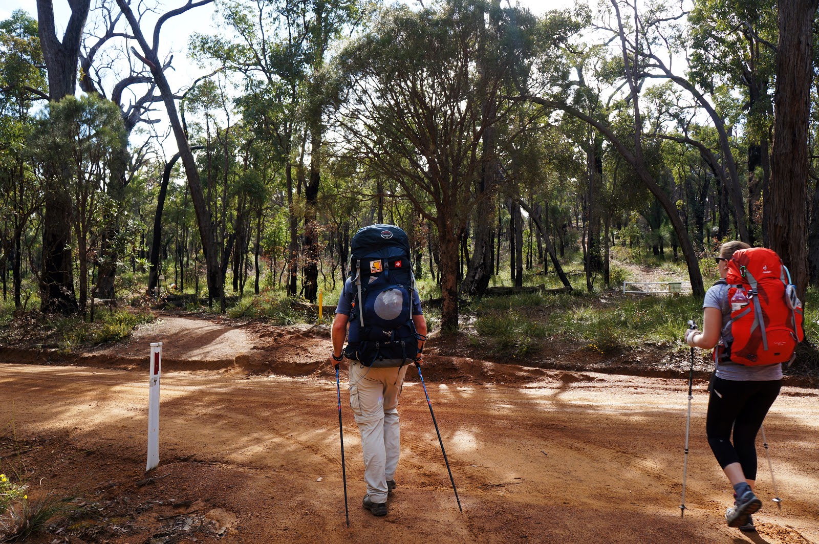
After nearly missing a turn off, we ascended up an old vehicle track and took a mid-morning rest as the trail headed back into Jarrah forest.

From there the terrain was fairly easy once again as it passed through wildflower-filled Jarrah woodlands to Beraking.

The huts from Kalamunda to Canning are all roughly 10 km apart. This provides easy days for those starting their End to End from the Northern Terminus, or the opportunity to 'double hut' as we were doing. The good thing about double hutting in these northern sections is that the first hut can be used as a lunch spot, and we gladly took off our packs for a break at Beraking. Considering we were not staying, it was perhaps ironic that Beraking was the largest of the huts between Mt Dale and the Discovery Centre, being an example of the Deep South configuration with the larger sleeping area.

For walkers heading north, Beraking is the first of three huts perched high above the Helena Valley, and provides sweeping views of the rolling hills beyond, setting the tone for the rest of the journey from here to Ball Creek.

The walking from Beraking to Waalegh is deep in the catchment area of Lake CY O'Connor and the Helena River, with Wandoo woodlands dominating much of the walk. Although there are some early ascents, this hut to hut section features relatively easy walking.

Karri Hazel had appeared elsewhere along the walk, however it was particularly abundant in this section of the track. Being early spring, many minor creeks were still running - sometimes right through the track itself. Being fairly small, these were easy enough to cross and rarely very deep at all.

The track eventually leaves the Wandoo woodlands and enters sections of typically scrappy Jarrah, however the wildflower displays were quite impressive and kept the walk engaging.

My old 2002 edition of the Bibbulmun Track guidebook promised 'Scenic Views' 2 kilometres from Waalegh, and the track did not disappoint with the Helena Valley revealing itself after some less scenic walking in Jarrah forest. From here to the hut, the walking was easily some of the best of the whole day - a really superb home stretch.

Not far from Waalegh, the track enters an exposed area of Granite, with a cairn marking the way. At this stage the hut is only a few hundred metres away, however it is worth spending some time here for the views.

In the distance, walkers can just make out Lake CY O'Connor and Mundaring Weir.

From there, its an easy walk to Waalegh campsite.

Built in 1994, Waalegh was the first hut and campsite built for the Building a Better Bibbulmun Track Project and set the high infrastructure standard that the Bibbulmun Track is renowned for. Built by Wooroloo Prison Farm and dedicated by then Premier Richard Court, this hut is famous due to appearing in a lot of the original Bibbulmun Track promotional material. It is a particularly photogenic hut at sunset when it is often bathed in a golden glow. Unfortunately, my camera struggled to focus for some reason when I was taking the sunset photo, so you'll just have to see it for yourself!

Being in a large organised group, we would not be staying in the hut tonight, and instead the group set up camp at Waalegh's excellent tent sites. Coincidentally, I also tented it when I was last here in 2004 as the hut was completely full - one of only two occasions I've ever seen the huts at capacity (the other time being from Schafer to Warren).

Like Beraking, Waalegh is located high above the valley. The beauty of the place had definitely not been lost on those planning the campsite infrastructure, and there were multiple benches provided from which to take in the lovely views.

And the views really are something special - Waalegh would have to be one of the best located along the track, and it would be a toss up between it and Helena for my favourite between Kalamunda and North Bannister. Watching sunset from here would definitely be a Bibbulmun Track highlight.
All in all, we covered the 17.9 kilometres in under 5 hours of walking, with a fairly lengthy lunch break at Beraking. The terrain was arguably easier in this section when compared to the next day from Waalegh to the Perth Hills Discovery Centre, however I have to admit that I found the stretch from Dale Rd to Beraking to be a good but not great section of the track. From Beraking to Waalegh, the walking was considerably more scenic and enjoyable, with the last two kilometres being particularly excellent. Waalegh campsite would rank as one of the track's best. Given that its deep in the Disease Risk Area with not easy vehicle access points makes it a hard won victory, and a classic example of why the going the long way is indeed better.


0 comments:
Post a Comment