
Kitty's Gorge is a stunning return walk in the Jarrah Woodlands of the Darling Scarp, leading walkers from the town of Jarrahdale to the beautiful Serpentine Falls via the rocky Gooralong Brook and Serpentine River. Along the way walkers will view small waterfalls and rapids, moss-covered granite outcrops and a particularly magical section filled with butterflies, making it one of the best day walks in Perth and deserving of its status as one of WA's Top Trails.
Distance: 16.5 km (return)
Gradient: Mostly gradual downhill with some flat sections on the way to the falls, then mostly gradual uphill with some flat sections on return. There are some rocky sections near the gorge and a very steep, stepped section near Serpentine Falls requires some sure-footedness and a degree of fitness.
Quality of Path: Excellent, clear and well maintained - damage to boardwalks earlier in 2015 was repaired by the time of our August visit. Obviously a priority track for DPaW.
Quality of Signage: Not a lot of signage, but fairly straightforward path makes this track easy to follow.
Experience Required: Some bushwalking experience would be recommended, though the easy to follow path would not require any specialist navigation skills.
Time: 3-4 Hours
Steps: Steps in some sections. Many steps in steep area near Serpentine Falls.
Best Time to Visit: Mid Winter- Early Spring
Entry Fee: No if entering from Jarrahdale. National Park fees apply if entering via Serpentine National Park.
Entry Fee: No if entering from Jarrahdale. National Park fees apply if entering via Serpentine National Park.
Getting There: The track can be walked from either Serpentine Falls or from Stacy's Track car park, located across the road from the Jarrahdale Cemetery on Chestnut Road in Jarrahdale. Jarrahdale to Serpentine Falls would be my recommendation.
Kitty's Gorge links Jarrahdale to Serpentine Falls, and can technically be walked one way with a car shuffle. Most walkers tend to do Kitty's Gorge as a return walk, and I would recommend starting the trail at the Jarrahdale end, as the walk in this direction - from a small brook that becomes increasingly rugged as it leads to the impressive Serpentine Falls - reads better narratively. After parking across the road from the Jarrahdale Cemetery on Chestnut Road, you head down Stacy's Track - a short trail through Jarrah woodlands that leads to the true start of Kitty's Gorge.
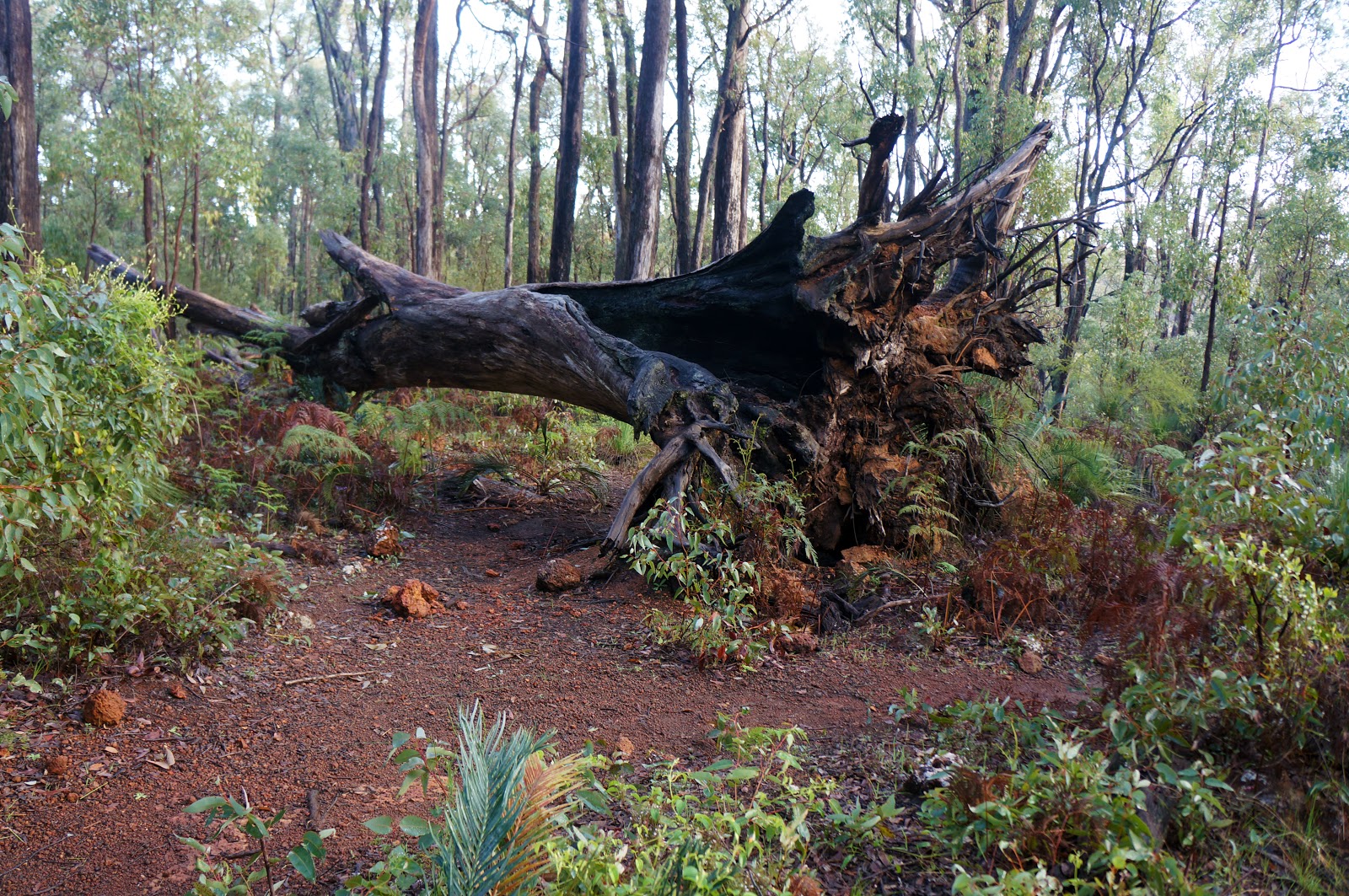
The walk down Stacy's Track is very pleasant, and is especially lovely when filled with birdsong early in the morning. One of the main landmarks of this descent is a collapsed Jarrah Tree along the path. The path has been altered to go around the fallen tree, however it is possible to crawl under if you so choose.
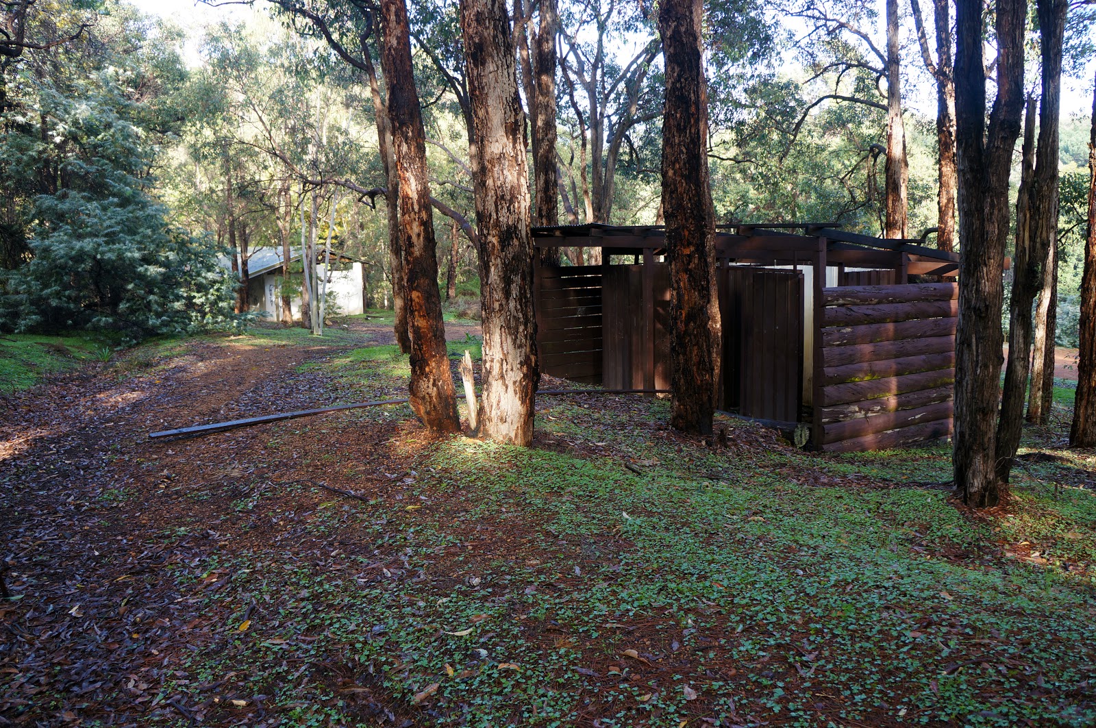
At the bottom of Stacy's Track is the increasingly derelict infrastructure of Gooralong Park, a camp ground and picnic area that used to be very popular with the people of Perth decades ago but has been closed for many years now - and thus necessitates the use of Stacy's Track to reach the start of Kitty's Gorge. When I first walk this trail in 2010, the park featured some old wooden see-saws and other recreation facilities that have since been removed, with piles of rubble during a recent visit suggesting DPaW have no plans of reopening Gooralong at any stage.
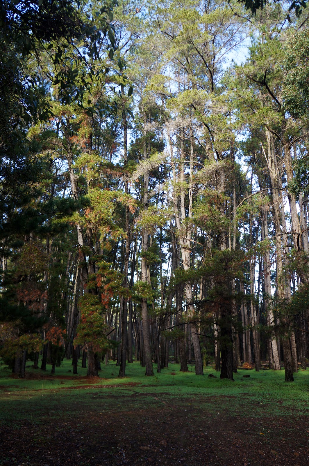
After passing the remaining buildings of Gooralong and a clear open space, the track leads past an incongruous strand of pine trees that are an apparent reason behind Gooralong's closure. The pines have a tendency of falling down unexpectedly, and the path here regularly requires walking over thin trunks of pines as you continue on to Kitty's Gorge.

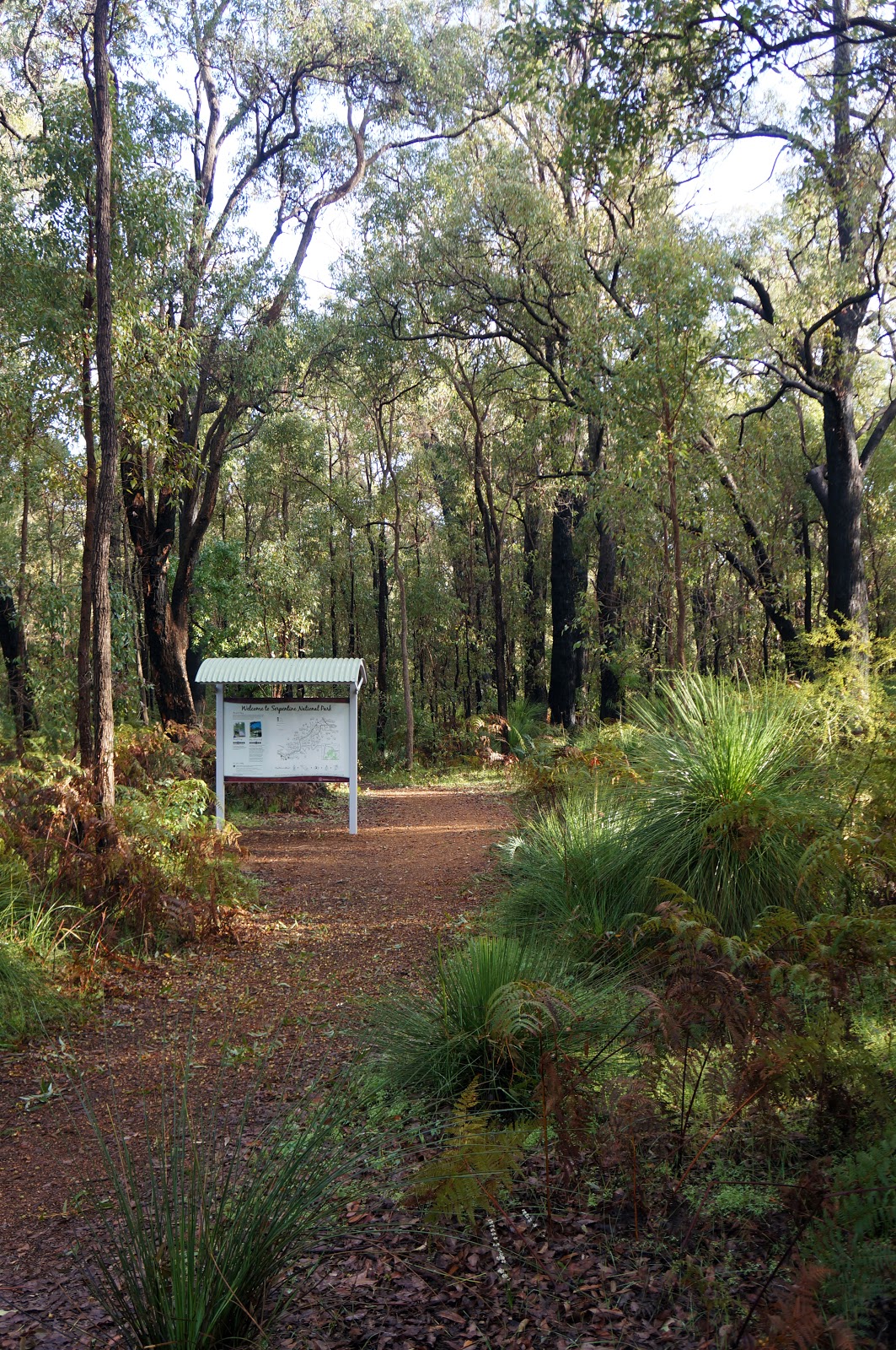
Just beyond the pines, the start of the Kitty's Gorge Trail is conveniently marked by this beautiful tree which is in bloom in late Winter through to Spring, as well as some information signage. From here on, the track trail follows the Gooralong Brook as it winds its way through to the Serpentine River.
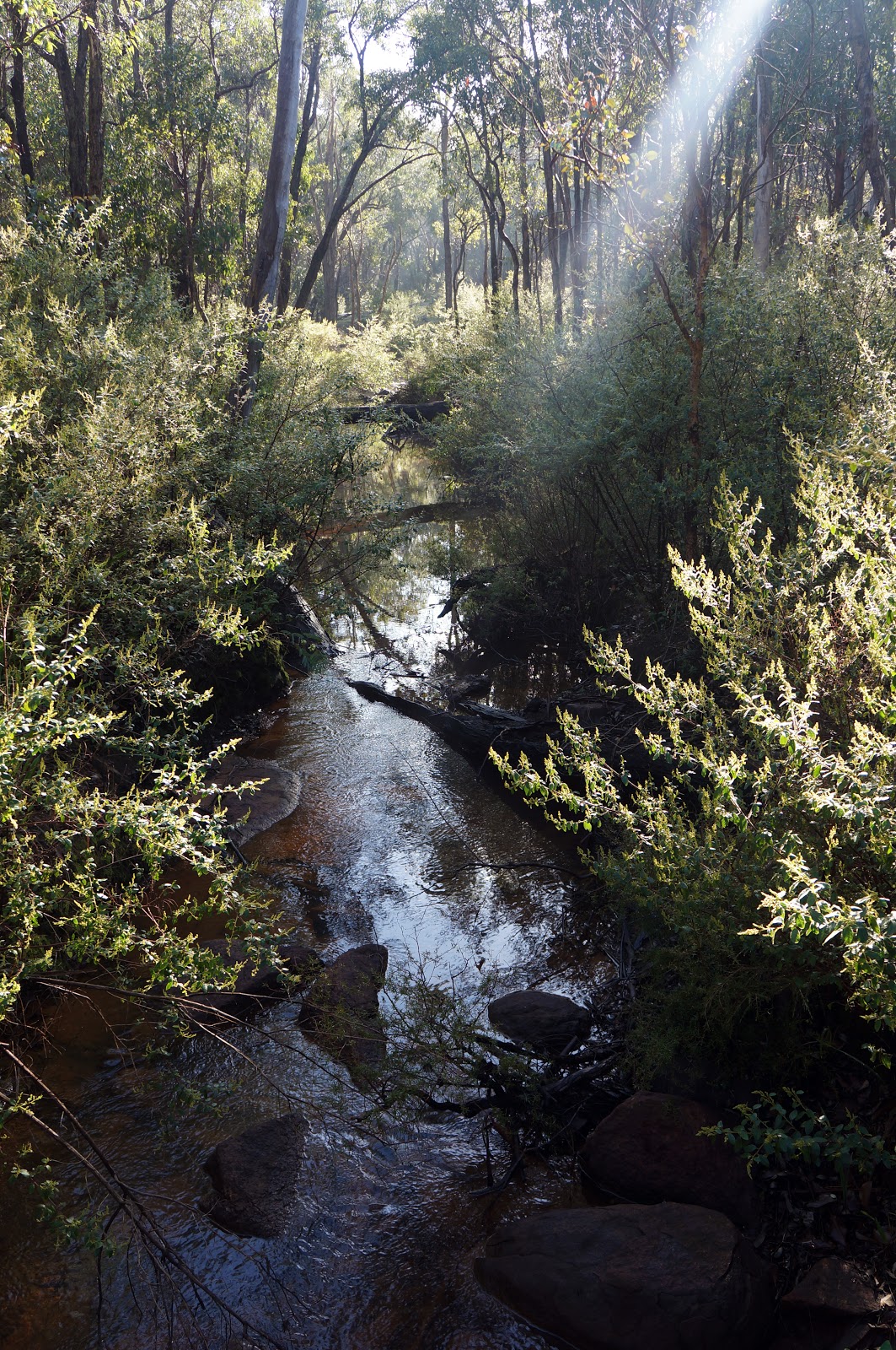
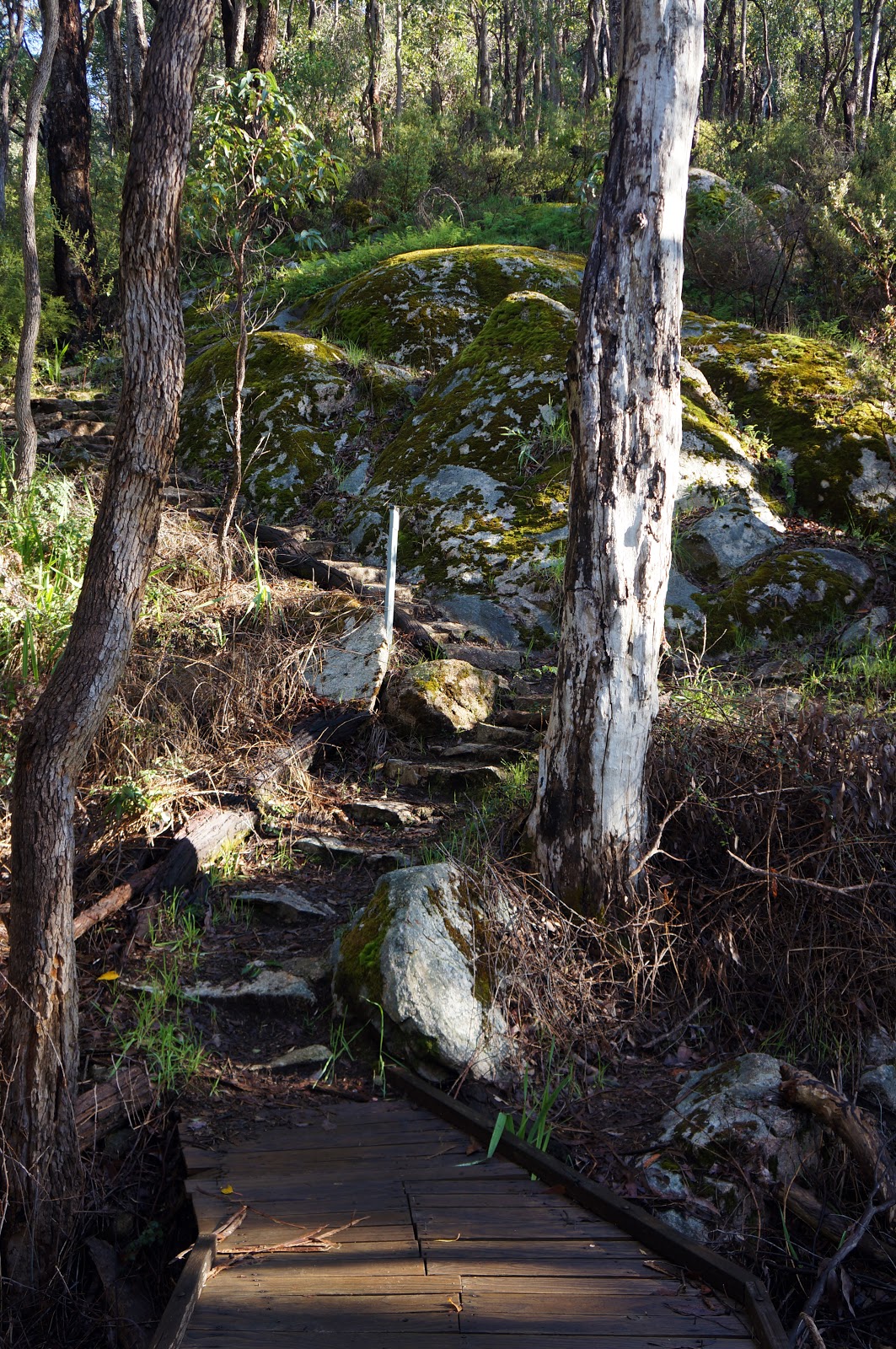
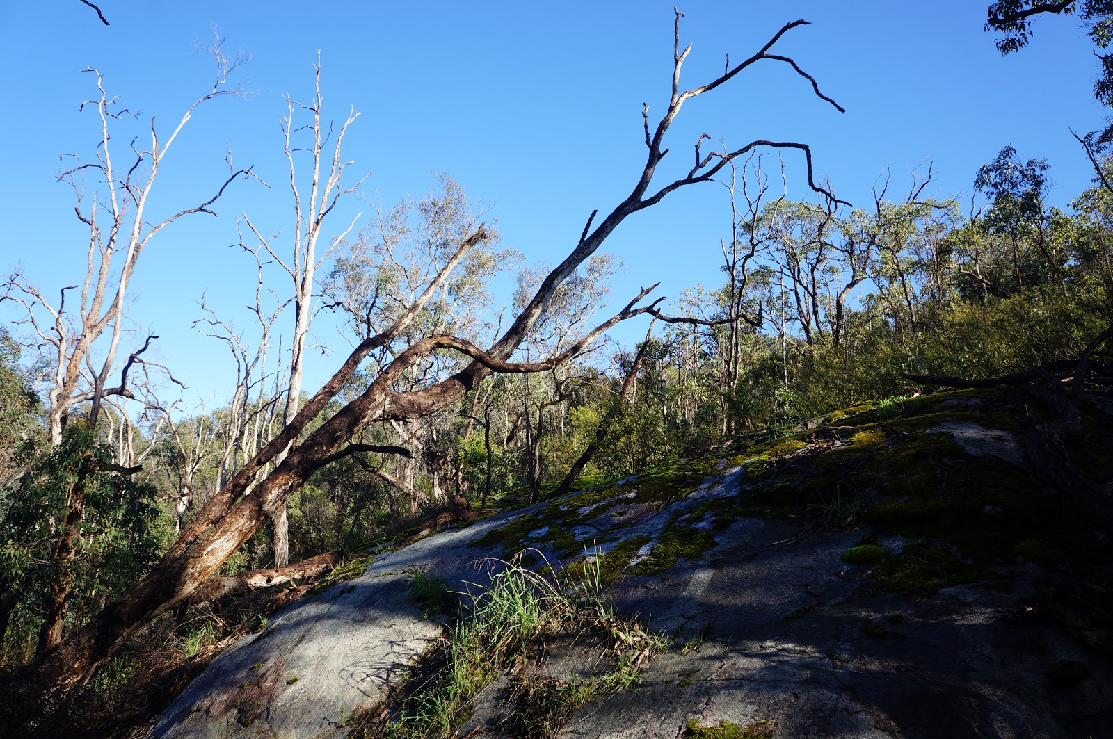
At this early stage, the Brook is relatively narrow and calm, and a network of boardwalks take walkers across Gooralong's banks. The valley on either side of Gooralong Brook begins to deepen as you continue down the trail, with hills and moss-covered granite cliffs on either side of the Brook revealing water's powerful force in creating the landscape of the Darling Scarp.
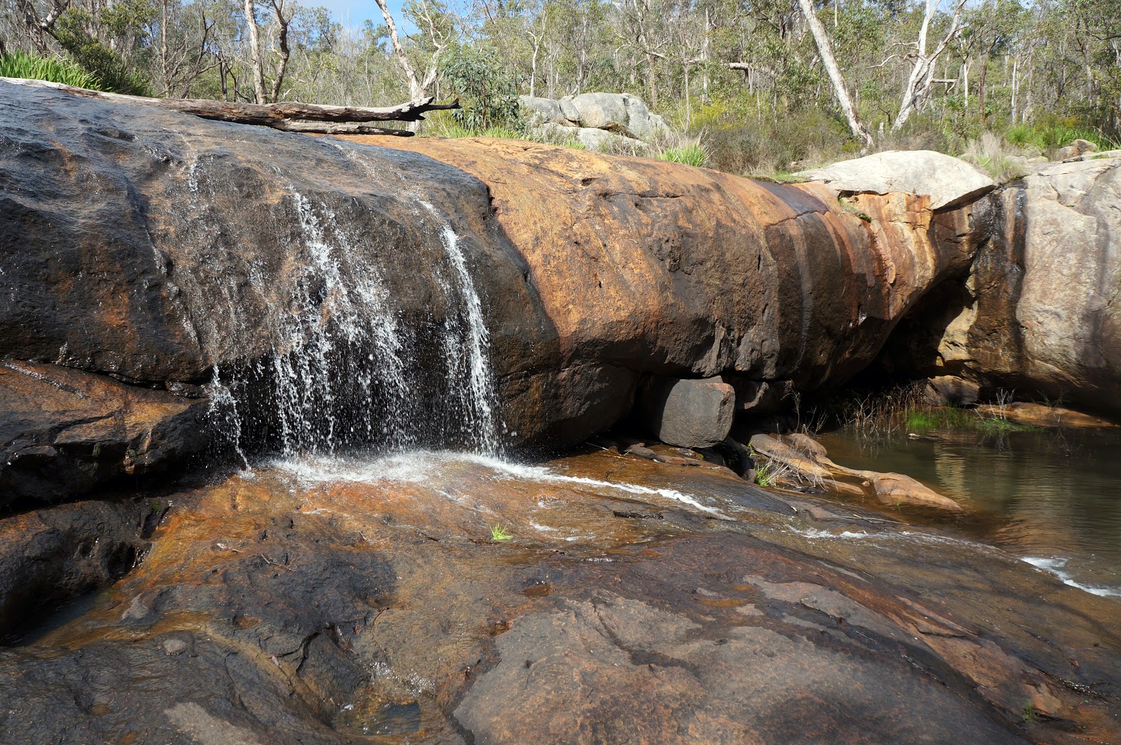
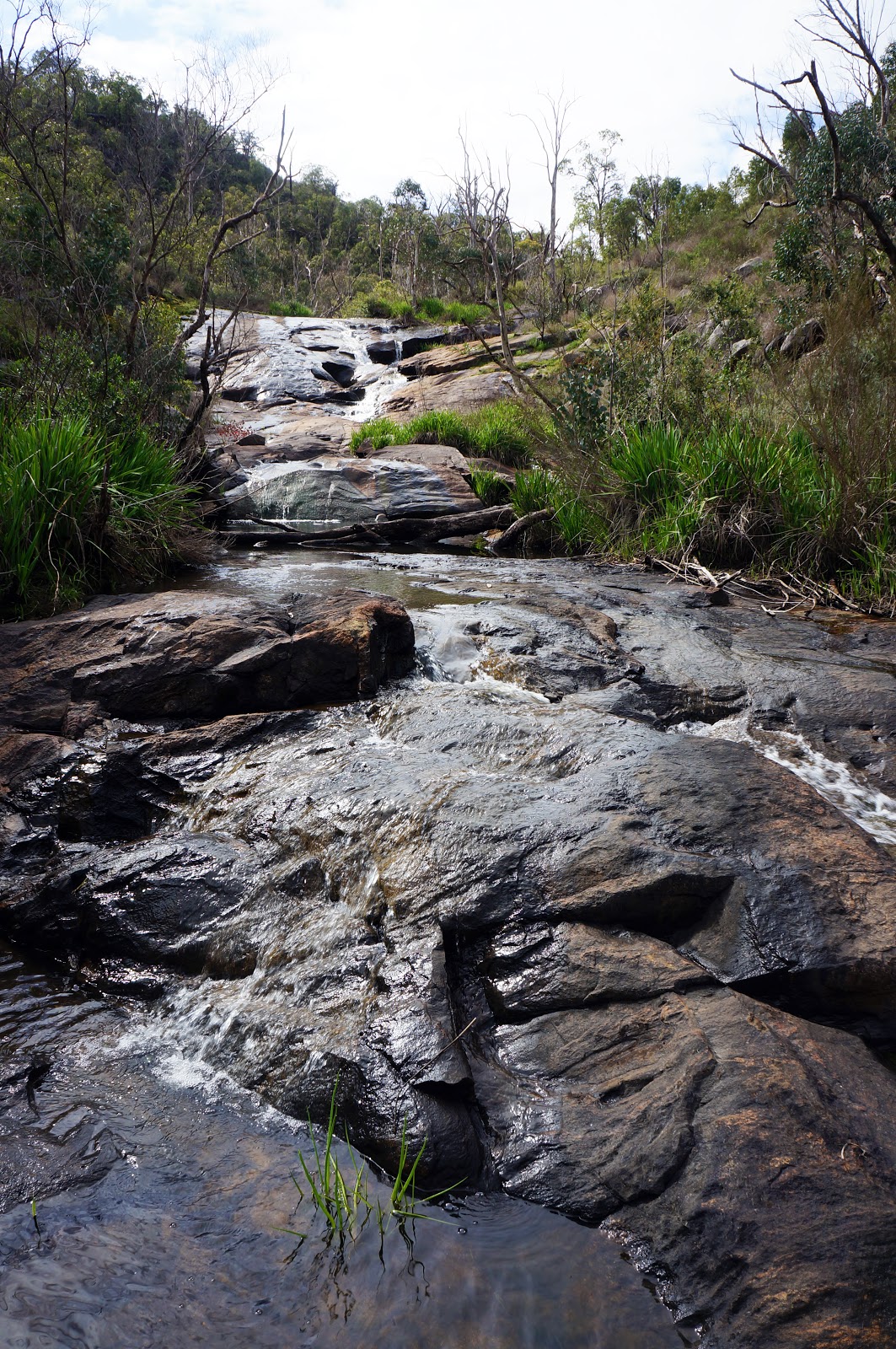
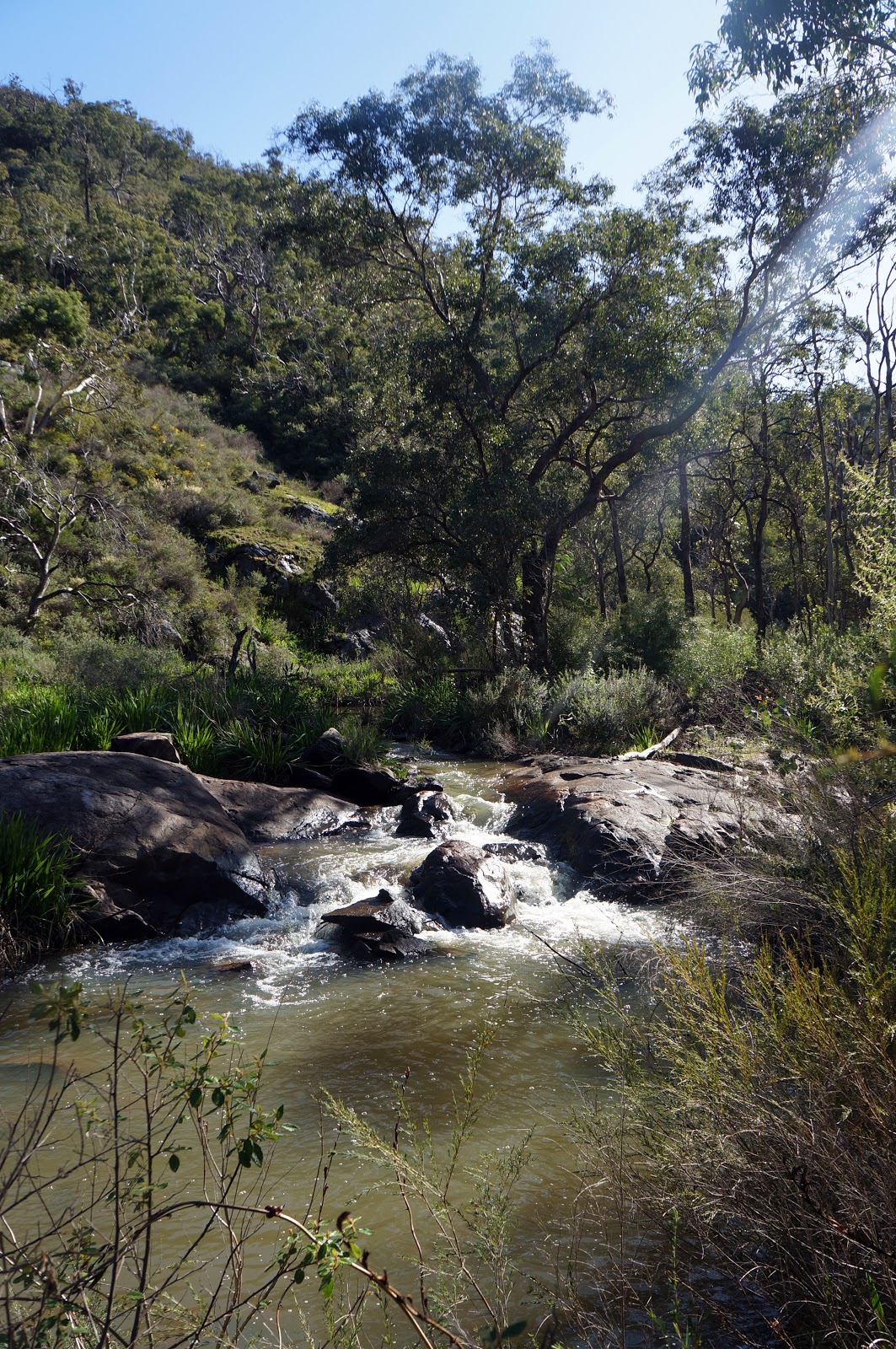
As the track continues, the valley gets deeper and the water flow steeper, with the Brook cascading over a series of small granite falls and shallow rapids. The track is particularly well aligned in this section - some of the higher points along the walk give the walker expansive views downstream while returning close to the brook at others. The small waterfall pictured above is one of the more prominent along the walk, with the path allowing walkers direct access. This spot will always have sentimental value for my wife Alissa and I, as I proposed her at this site after a seriously heavy flow at Serpentine Falls made my originally intended location unsuitable.
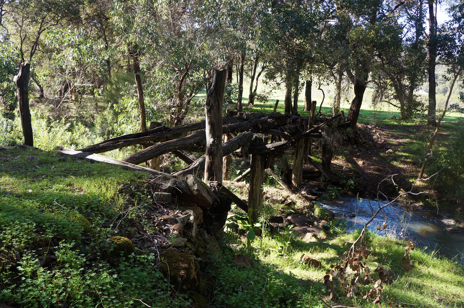
As the brook approaches the Serpentine River, the terrain begins to level out and the dense jarrah forest gives way to grassland. The remains of an old wooden bridge can be seen crossing the River, while a newer, more modern counterpart directly after takes walkers along the trail to the other side.
On the other side of the bridge, the trail passes the heritage listed Spencer's Cottage and the remains of the orchard that surrounded it. Built in c.1860, this historic building is one of the few surviving reminders of a once flourishing pioneer community which existed in the area during the early colonial period. Owned by the Water Corporation since 1979, the house is fenced off and is apparently not long structurally sound.
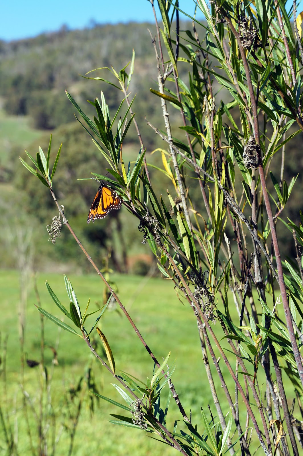
An interesting peculiarity of the area near Spencer's Cottage is that the plants surrounding the house seem to be strongly favoured by monarch butterflies, and at the right time of the year this section of the trail can be particularly magical as the butterflies dart to and fro across the track.

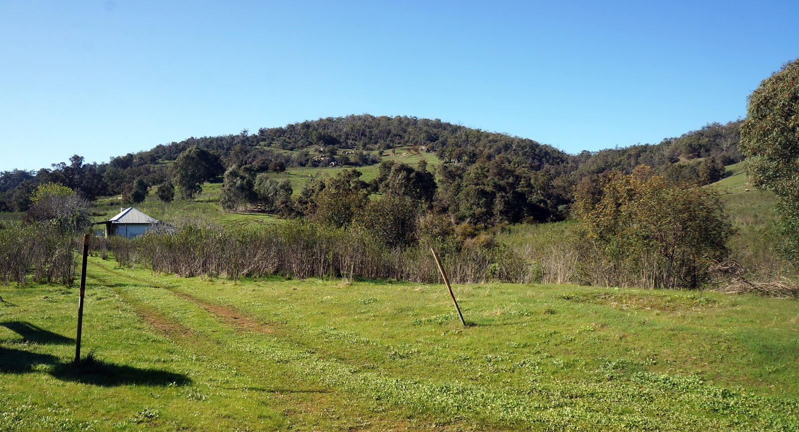
As the trail continues onwards, it passes by some private properties near the banks of the Serpentine River. These lucky few houses overlook a particularly tranquil view of the Serpentine as seen above. Walkers are advised to be respectful of the people living nearby, and not to make too much noise or trespass on their land.
As the walk continues along the Serpentine River, the rocky rapids and the increasing width of the river builds anticipation for the falls to come.
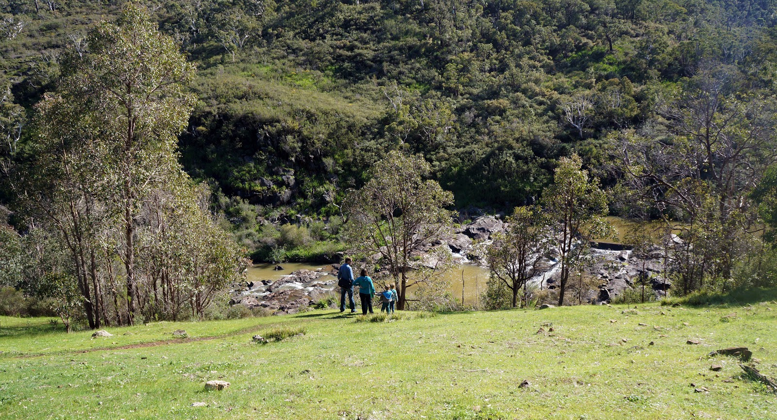

The track rises away from the river to provide expansive views of the valley on either side of the Serpentine River. A water pipeline becomes visible to the left of the track, and the track follows the pipeline along a very steep and rocky section that descends to the bottom of the falls. This is probably the most technically difficult section of the trail, as the uneven path requires some attention and sure-footedness - though we have seen trail runners running down here with relative ease! The worst part of this section is the knowledge that you're going to have to walk up this steep section on the return walk.
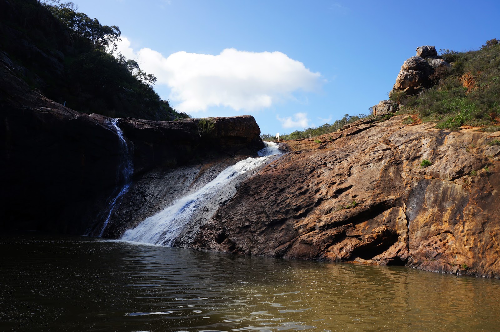
The pay off for the descent and the corresponding ascent comes in the form of Serpentine Falls and the pool at its base. This area can be very busy in Summer and Autumn as it is a popular recreation spot, however the falls are truly at their best in late Winter and early Spring after substantial rains. That said, the greatest flow we have ever witnessed was in May 2012 when Water Corp were flushing the channel and allowing water from the Serpentine Dam located upstream to flow through the falls. The torrent of water was so loud and intense that I realised it was not going to be a suitable location to propose to Alissa, hence the choice of the more low key waterfall on Gooralong Brook instead.
From there, it is a simple matter of retracing your steps back up to Jarrahdale. Many return walks can be a bit boring given a repeat of the same scenery, however the beauty of the walk makes the return journey worthwhile as it allows for alternate views. This is wonderful day walk that rewards the walker with sections of lovely natural scenery that can only be accessed on foot, and is well worth the challenge of its more difficult sections.


0 comments:
Post a Comment